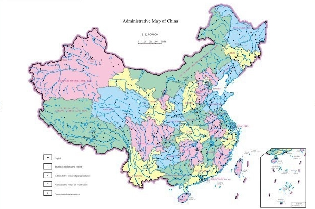
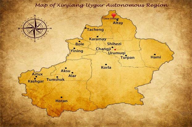
As one of the largest provincial administrative regions in Northwest of China, Xinjiang occupies one-sixth of the total land area of the country, bordering Russia, Mongolia, India, Afghanistan and some Central Asia countries. It has been an important passageway of the ancient Silk Road. Now it is the second "Eurasian Continental Bridge", so its distinct topography, geographical location and mystery culture allow it to share the world's top trekking resource.

The Topography of Xinjiang:
The mountains and basins are surrounded by basins and mountains, which are called "three mountains with two basins". The Altai Mountains in the north and Kunlun Mountains in the south; Tianshan Mountains lie across the central part of Xinjiang, dividing Xinjiang into two parts, the Tarim Basin in the South and the Junggar Basin in the north. Traditionally, it is called Southern Xinjiang to the south of Tianshan Mountain, northern Xinjiang to the north of Tianshan Mountain, and Eastern Xinjiang to the Hami and Turpan Basins. Xinjiang's lowest point, Aydingkol Lake in Turpan, is 155 meters below sea level (also China's lowest land level). The highest point, Mt. Chogory, is located on the Kashmir border at an altitude of 8,611 metres. Xinjiang's Gurbantunggut Desert (46 degrees north latitude 16.8 points, 86 degrees east longitude 40.2 points) is the farthest land from the sea, the nearest coastline 2,648 km away.
Meanwhile, as one of the significant symbol of Xinjiang, the Tianshan Mountains run through the central part, which formed the Tarim Basin in the South and the Junggar Basin in the north.


